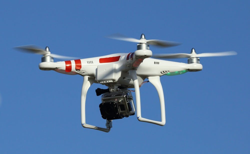
The U.S. Department of Defense has awarded researchers at the Nicholas School of the Environment $954,000 to determine whether drones can help the military monitor forest fires and manage storm damage at coastal installations.
Researchers at the University of North Carolina Institute of Marine Sciences and Attollo LLC–a local company specializing in unmanned aircraft systems–will assist with the study, explained David Johnston, director of the Duke Marine Robotics and Remote Sensing Lab and associate professor of the practice of marine conservation ecology. The three-year project will attempt to develop a proof of concept for how DOD land managers might harness high-resolution imaging to track the effects of storms, fires and military activity.
“This is a demonstration project,” wrote Antonio Rodriguez, co-principal investigator and professor at the University of North Carolina Institute of Marine Sciences, in an email. “The largest benefit will be developing protocols and operating procedures that the DOD can use to integrate [unmanned aerial vehicles] into their management activities, in this case, coastal and fire management.”
The drones are not too extravagant–Rodriguez said they are “maybe one step above what a hobbyist would purchase”–but can still gather data with speed and precision.
“We sample on the ground at three centimeters per pixel with very high spatial accuracy,” Johnston said. “So that means that the data collected is very rich and can be used for a variety of things.”
Jon Putney, owner and partner at Attollo LLC, explained that collecting data through traditional platforms is often costly, whereas drones can be operated and maintained more efficiently. He added that data collection that used to take 10 years due to the size of DOD land spaces can now be achieved in a matter of days using the unmanned aviation technology.
Rapid data collection is essential to understand the speed and impact of coastal erosion and wildfires, Putney said. The drone strategy could be particularly useful at local sites such as Camp Lejeune, a military training facility in Jacksonville, N.C.
Beyond enhanced data collection and cost, Johnston said that the main advantages associated with this type of drone use would be ecological.
“If you are flying over a beach to look at the topography, you are also collecting images that give you the ecological context as well,” he said. “How much vegetation is there, are there sea turtles crawling, are there sea birds present, those kinds of things.”
However, their research funded by the grant sets out to do more than demonstrating the drones’ capacity for collecting data quickly. According to a press release, the researchers will also explore how different types of infrared sensors on commercial drones might more accurately survey the real-time progress of prescribed burns–wildfires set off intentionally for purposes of forest management–ignited near its coastal installations.
“The second mission is focused on forest management—how we maintain or increase safety for people working on wildfires and also prescribed burns but reduce costs,” Johnston said.
He noted that his research team within the Nicholas School applied for the grant through the Department of Defense’s Environmental Security Technology Certification Program and would ramp up its work this summer, carrying on into the following three years.
While he and Rodriguez perform their study, Putney and his team at Attollo will be working to ensure the smooth transition of these drones into practice at coastal military installations. Putney explained that his focus is on establishing training systems for potential drone users, developing drone kits that can be specifically tailored to each user’s mission and laying out the protocols and procedures required for drone use in DOD airspace.
“It’s really bridging the gap between the applied science and practical application,” he said. “By the end of the project, the users should have all of the resources to do it themselves.”
The researchers hope that by the end of the project, DOD land managers will feel comfortable using the drone technology.
“[Unmanned aircraft systems] are changing the way we study, manage, and even commercialize the built [and] natural environment,” Rodriguez wrote. “Most UAS applications offer better, cheaper, and safer results than traditional methods that would rely on an airplane or helicopter as a platform. We're still figuring out how to balance accessibility with safety and this project will move us closer to that goal.”
Get The Chronicle straight to your inbox
Signup for our weekly newsletter. Cancel at any time.

